The upper loop will run between two raised areas of land using trestles and two bridges over the lower track. I've already positioned a connecting track between the lower level track and the upper loop, and now I'm starting work on building the first trestle and bridge.
 |
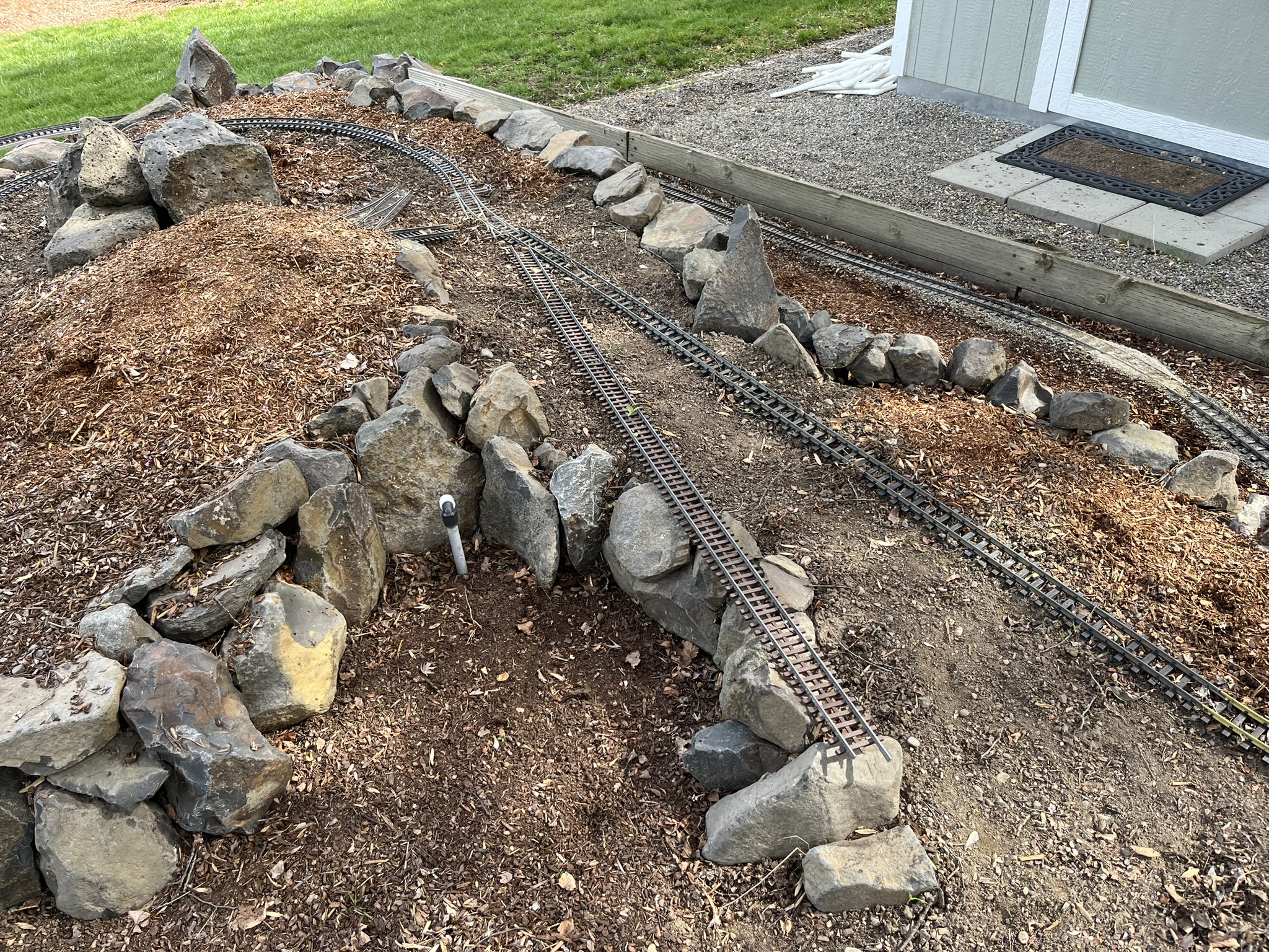
| The first issue I ran into is that I realized the track would be going right over a rock retaining wall. This wasn't going to work well for building a trestle so I decided to move the rocks back. |
 |
| I pulled out all the rocks and dug back into the slope. |
 |
| Rocks back in place to hold up the slope, the upper loop track now heads out into a clear area where I will build a trestle. |
 |
| Next I needed to decide on the alignment of the curve. |
 |
| Once I had the track aligned I could then finalize placement of the bridge, and replace the temporary PVC pipe supports with a brick pier on a gravel foundation. Likely I'll eventually cover these bricks with a more decorative siding, but for now they work fine and will keep the bridge in place. |
 |
| I'm building this trestle like the last one I did, using the track as a guide and essentially building down from it to the ground. I decided on the position for each trestle bent, then measured and created a bent the right height for each position. |
 |
| Here are the first six bents in position and stringers on top being weighted down until the glue sets. A few more to go to get to the bridge, but this is where I'm leaving it for today as the remaining bents were just built and I'm waiting for them to completely dry before being put in place. |
 |
| A few pictures from a recent hike, starting with this wonderful patch of heartleaf arnica (Arnica cordifolia). |
 |
| I was so excited to see a couple of bitterroot (Lewisia rediviva) blooms just opening up. |
 |
| Western groundsel (Senecio integerrimus) is now at peak bloom. |
 |
| A few robin eggs in a nest that was not very well hidden away. |